Travel Guide of La Valle Agordina in Italy by Influencers and Travelers
La Valle Agordina is a comune in the Province of Belluno in the Italian region Veneto, located about 90 kilometres north of Venice and about 20 kilometres northwest of Belluno.
Download the Travel Map of Italy on Google Maps here
The Best Things to Do and Visit in La Valle Agordina
TRAVELERS TOP 10 :
1 - San Martino di Castrozza
20 km away
San Martino di Castrozza is a mountain resort in the Primiero valley in the Trentino province in Italy. The western part, with 428 inhabitants, is in the comune of Siror, with the eastern, housing 135 inhabitants, in Tonadico.
Learn more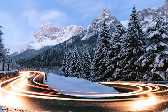
2 - Giau Pass
22 km away
The Giau Pass is a high mountain pass in the Dolomites in the province of Belluno in Italy. It connects Cortina d'Ampezzo with Colle Santa Lucia and Selva di Cadore.
Learn more Book this experience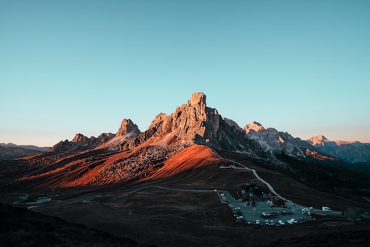
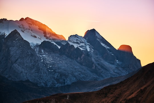
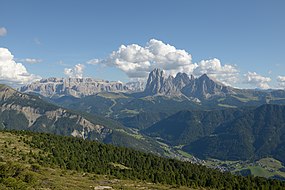
3 - Dolomites
25 km away
The Dolomites are a mountain range located in northeastern Italy. They form part of the Southern Limestone Alps and extend from the River Adige in the west to the Piave Valley in the east.
Learn more Book this experience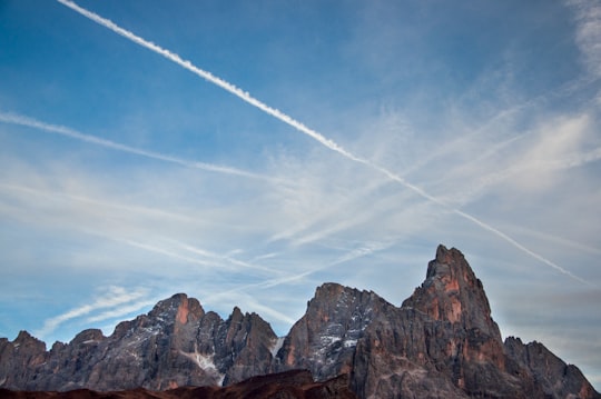
4 - Marmolada
25 km away
Marmolada is a mountain in northeastern Italy and the highest mountain of the Dolomites. It lies between the borders of Trentino and Veneto.
Learn more Book this experience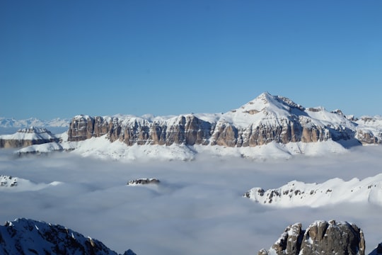

5 - Passo Falzarego
27 km away
The Falzarego Pass is a high mountain pass in the province of Belluno in Italy. It mainly connects the territory of Agordo and Cortina d'Ampezzo.
Learn more Book this experience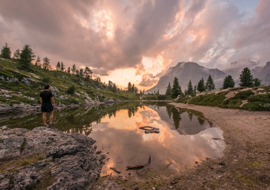
6 - Lago di Sorapis
29 km away
Lago di Sorapiss is a lake in the mountain range Sorapiss in the Dolomites, province of Belluno, c. 12 km away from Cortina d'Ampezzo. The lake has an altitude of 1,925 metres above sea level. The strong turquoise color is dust from the glacier. The lake can only be reached by foot or by helicoper. The hiking trail has a length of 10.5 km and takes 1.5 hours one way starting from Passo tre Croci.
Learn more Book this experience
7 - Canazei
31 km away
Canazei is a comune in Trentino in the northern Italian region Trentino-Alto Adige/Südtirol, located in the upper part of the Val di Fassa, about 110 kilometres northeast of Trento. Its name derives from the Latin word cannicetus.
Learn more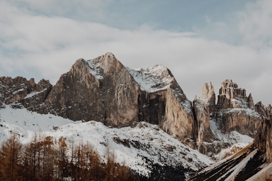
8 - Moena
33 km away
Moena is a comune in Trentino in the northern Italian region Trentino-Alto Adige/Südtirol, located about 60 kilometres northeast of Trento. It is the largest comune in the Fassa Valley. In the census of 2001, 1,967 inhabitants out of 2,602 declared Ladin as their native language.
Learn more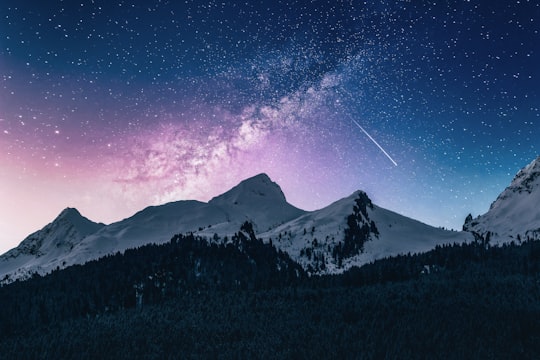
9 - Fassa Valley
34 km away
The Fassa Valley is a valley in the Dolomites in Trentino, northern Italy. As an administrative valley community of Trentino, it is called Region Comun General de Fascia.
Learn more Book this experience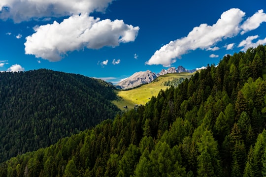
10 - Sella Pass
34 km away
The Sella Pass is a high mountain pass between the provinces of Trentino and South Tyrol in Italy. It connects the Val Gherdëina in South Tyrol and Canazei in the Fascia Valley in Trentino.
Learn more Book this experience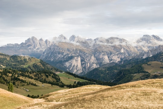
Disover the best Instagram Spots around La Valle Agordina here
Book Tours and Activities in La Valle Agordina
Discover the best tours and activities around La Valle Agordina, Italy and book your travel experience today with our booking partners
Pictures and Stories of La Valle Agordina from Influencers
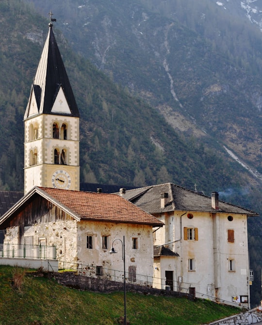
Picture from Mirto Time who have traveled to La Valle Agordina
Plan your trip in La Valle Agordina with AI 🤖 🗺
Roadtrips.ai is a AI powered trip planner that you can use to generate a customized trip itinerary for any destination in Italy in just one clickJust write your activities preferences, budget and number of days travelling and our artificial intelligence will do the rest for you
👉 Use the AI Trip Planner
Why should you visit La Valle Agordina ?
Travel to La Valle Agordina if you like:
⛰️ Hill station 🌲 Forest ⛰️ Hill ⛰️ Summit ⛰️ Mountain range ❄️ Glacial lakeWhere to Stay in La Valle Agordina
Discover the best hotels around La Valle Agordina, Italy and book your stay today with our booking partner booking.com
More Travel spots to explore around La Valle Agordina
Click on the pictures to learn more about the places and to get directions
Discover more travel spots to explore around La Valle Agordina
🏰 Church spotsTravel map of La Valle Agordina
Explore popular touristic places around La Valle Agordina
Download On Google Maps 🗺️📲